In the past six months, there's been a wealth of attention devoted to starting a bike-sharing system in Seattle. In November, I
wrote about the first
feasibility study done for bike-sharing in Seattle, a collaboration between SDOT and the UW.
The UW study divided the city into 10-square-meter cells and ranked them based on factors like residential population density, job density, retail density, proximity to transit, and existing bike infrastructure.
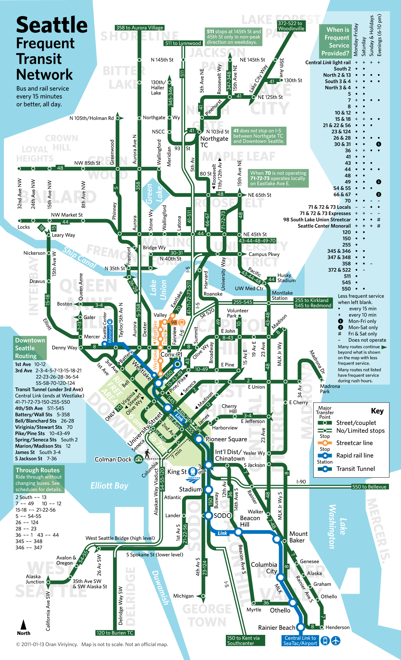
The result is a detailed portrait of where bike-sharing is most likely to succeed in Seattle. The results of their analysis suggest that bike-sharing should first be rolled out in the downtown core, Lower Queen Anne, and Capitol Hill neighborhoods. These neighborhoods both have very high residential density and walkability, extensive bike and transit infrastructure, and are full of retail and tourist destinations.
 |
| Photo courtesy of Publicola and the UW Bike Share Studio |
Phase 1 of the proposed bike-share system begins with the green zone of downtown and its immediate neighbors Lower Queen Anne and Capitol Hill, along with parts of the Sodo stadium district. Continuing down the hierarchy of density, the system would be later expanded in Phase 2 to include Upper Queen Anne, Eastlake, the Central District, Beacon Hill, Ballard, Fremont/Wallingford, and the U District. Lower density neighborhood centers, known in City of Seattle parlance as "urban villages" would be the last to be added in a Phase 3.
According to
Seattle Transit Blog, King County is currently seeking a $150,000 federal grant to get the pilot Phase 1 off the ground. The program would launch first in the green downtown areas with between 800 and 1,000 bikes, with a capital cost of $3,500 - $4,500 per bike. Operational costs would average $1,200 to $1,600 per bike, which would be paid through monthly or annual user subscription fees in the range of $45-$75 per year with an hourly rate after the first free half-hour.
The King County planners STB interviewed seemed to indicate that Redmond (with its large high-tech workforce) be included in the Phase 1 and the suburban centers of Bellevue, Kirkland, Renton, and Kent would be included in the Phase 2.
The UW study explicitly recommended against this approach of including outlying population centers in the initial phases so as to not create a disjointed, less functional system. They even recommended not including the U District in the initial Phase 1, despite the high student population and retail density, because of the lack of bike connectivity with the downtown center. We'll have to see if King County follows this reasoning in their final proposal.
Also unclear is whether the County would require helmets on users of the bike-share system - most European systems have done away with their helmet laws completely to boost their ridership, and this approach seems to have been its saving grace. Will our litigious American culture subside enough for helmet laws to be relaxed? Or worse still, will there be vending machines at the bike stations to sell helmets? That just sounds like nanny-state ridiculousness, but with Seattle you never know!
A second interesting
study was done in April by an STB writer, Adam Parast. He did a GIS analysis of the current bikeability of Seattle versus Portland. The project compared factors of street connectivity, existing bike infrastructure, slope, land use (proxy for density) and barriers (like a freeway interchange or an impassable slope). The result? Not surprisingly, Portland takes the cake on bikeability in nearly every respect.
Due to a combination of our more challenging geography (Portland has it easy lying in a mostly flat river valley) and our comparative lack of bicycle infrastructure, Seattle is reduced to "islands of bikeability" in a hostile, car-centric sea. One of the more surprising and extensive bike-friendly areas is
Ballard. Should this area be included in Phase 1? It's about 10 minutes away by bike from the downtown core via 15th Ave. W and Elliott. Also in its favor: its fast-rising residential density, numerous tourist attractions, and largely self-sufficient retail district.
More good news for bike sharing:
bikes travel faster than cars during rush hour in most cities! According to a
study out of Lyon, France's bike share system, bicycles are faster and more direct than cars in high-density areas during rush hour because of the complications of circling the block to find parking and then finally walking to your destination. Intuitively, this makes sense in Seattle - you can ride your bike between Downtown, Capitol Hill, and the U-District faster than rush hour car traffic.
King County is looking to launch the Seattle bike-share system by summer 2012, so there's sure to be a lot more going for bike-sharing locally, and a lot more reporting to come from Green My Fleet!
Via:
Planetizen and
Publicola